Team of UNM scientists find landing spot for the Mars Perseverance Rover
Department of Earth and Planetary Sciences Professor Louis Scuderi, in association with a team of researchers from the University of New Mexico and Los Alamos National Laboratory (LANL), used remote sensing and Geographical Information System (GIS) software and CARC computing resources to identify an ideal landing spot for NASA’s Mars Perseverance Rover.
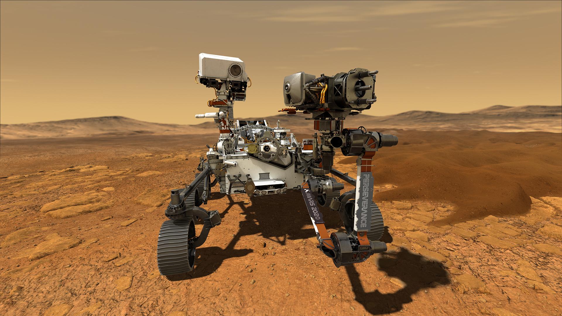 The Mars Perseverance Rover landed in Jezero Crater, Mars on February 18, 2021, and will spend the next Mars year, or the equivalent of about two Earth years, surveying the planet. NASA will use the rover to gather samples and look for evidence of Martian life. The mission introduces a number of exciting new technologies to the realm of space exploration including the SuperCam to analyze chemical composition and mineralogy from a distance, an experimental device called MOXIE created to turn carbon dioxide into oxygen, and the Ingenuity helicopter. Ingenuity is expected to take flight in April of 2021, making it the first helicopter to fly in space.
Before exploring the surface of Mars, NASA needed to first identify the perfect place to land their rover. Scuderi, his research team, and NASA scientists used remote sensing and GIS data to analyze possible landing areas that met the mission’s needs—namely, a location that could contain evidence of life and allow the rover to move around easily without being damaged. The team initially considered over 100 different sites for the landing, taking factors like surface temperature, elevation, and evidence of past water into account. After years of research, it was determined that Jezero Crater was the best place for Perseverance to visit.
One of the reasons Jezero Crater was chosen is because it contains a Martian delta. Deltas on Earth tend to collect and preserve remnants of life. Scuderi explains, “Deltas are really biologically important and they’re very productive. They also drain large areas so that any life signs that are in the drainage get collected in the delta,” adding, “What we’re looking for is a place that preserves biosignatures.”
To recommend a landing spot, researchers needed detailed information about the contours of Mars’ surface. Scuderi was inspired by his cell phone to apply fingerprint recognition software to the landscape of Mars. He recalls, “I always thought, when I looked at dunes, that the pattern of dunes sort of looked like a fingerprint. One day I was logging onto my phone and… I said, ‘I wonder if I can use the software for fingerprint identification and apply it to the patterns that I see in dunes.’ And I did a little research and I found out that the actual software that’s used [for cell phones] is the software that the FBI uses for fingerprint identification and it’s open source.”
Fingerprint recognition software works by looking for “defects”— places where ridges either terminate or fork. This program was highly applicable to the ridge patterns seen in Martian dunes, though it needed to be modified in certain ways to accommodate the differences between dune patterns and fingerprint patterns. Scuderi and his colleagues used CARC computing resources to adapt the algorithm.
Regarding his ongoing work on the Perseverance mission, he comments, “One of the biggest issues is that when we get to Mars, we’re going to need water.” Scuderi and his colleagues will continue to help NASA explore the surface of Mars in search of ancient life and the potential for habitability.
Image courtesy of NASA
